Skip to content

Metocean Route and Site Assessment

Service Introduction

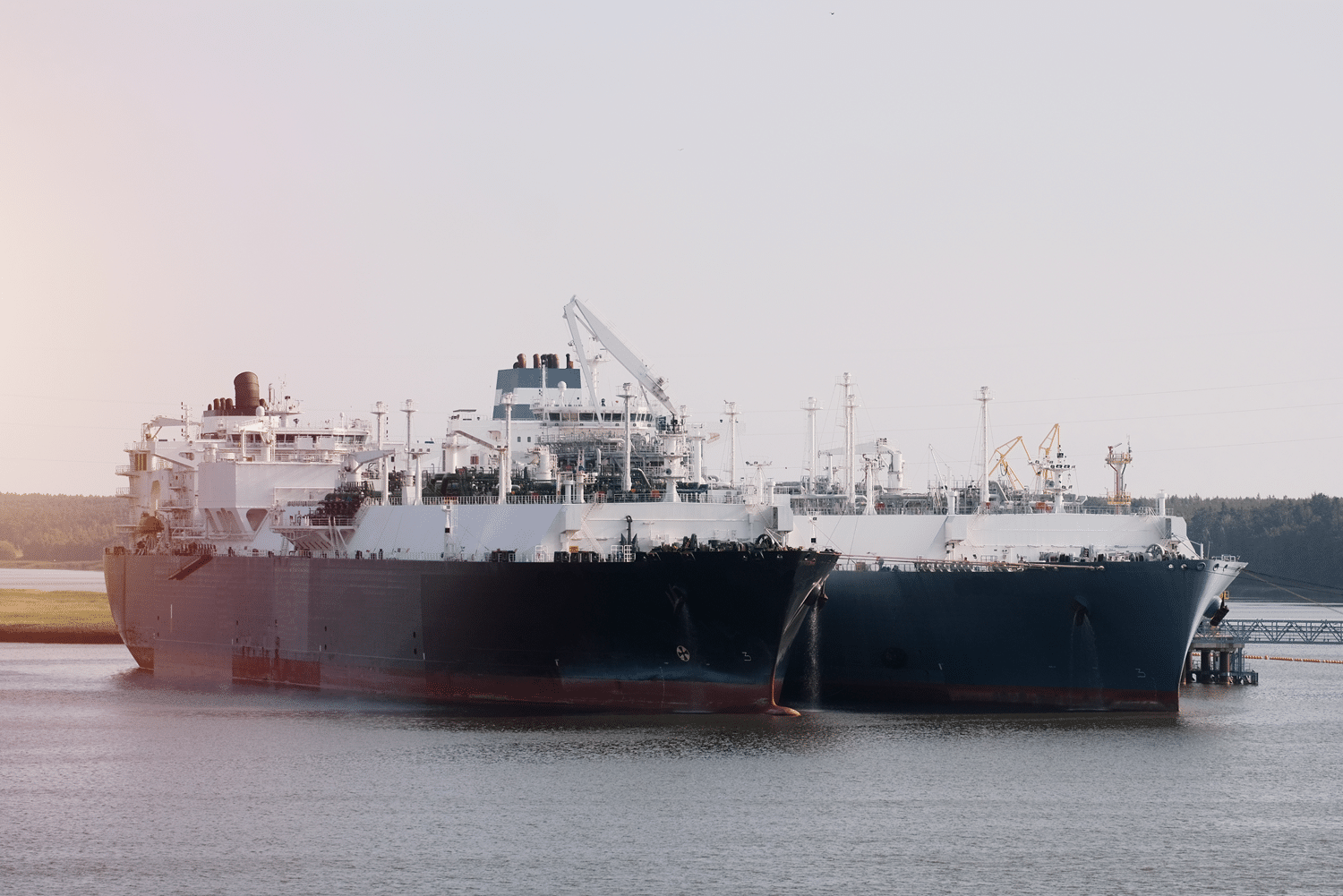
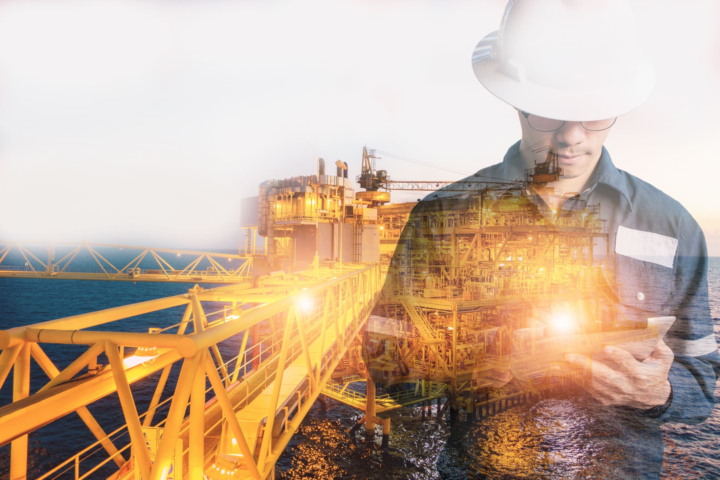
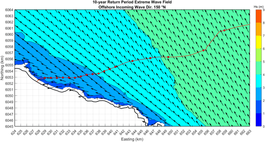
Longitude provides an in-house offering in metocean modelling and coastal engineering, providing the client with high-quality data and specifically tailored analysis to support marine operations and assets from concept through to decommissioning.

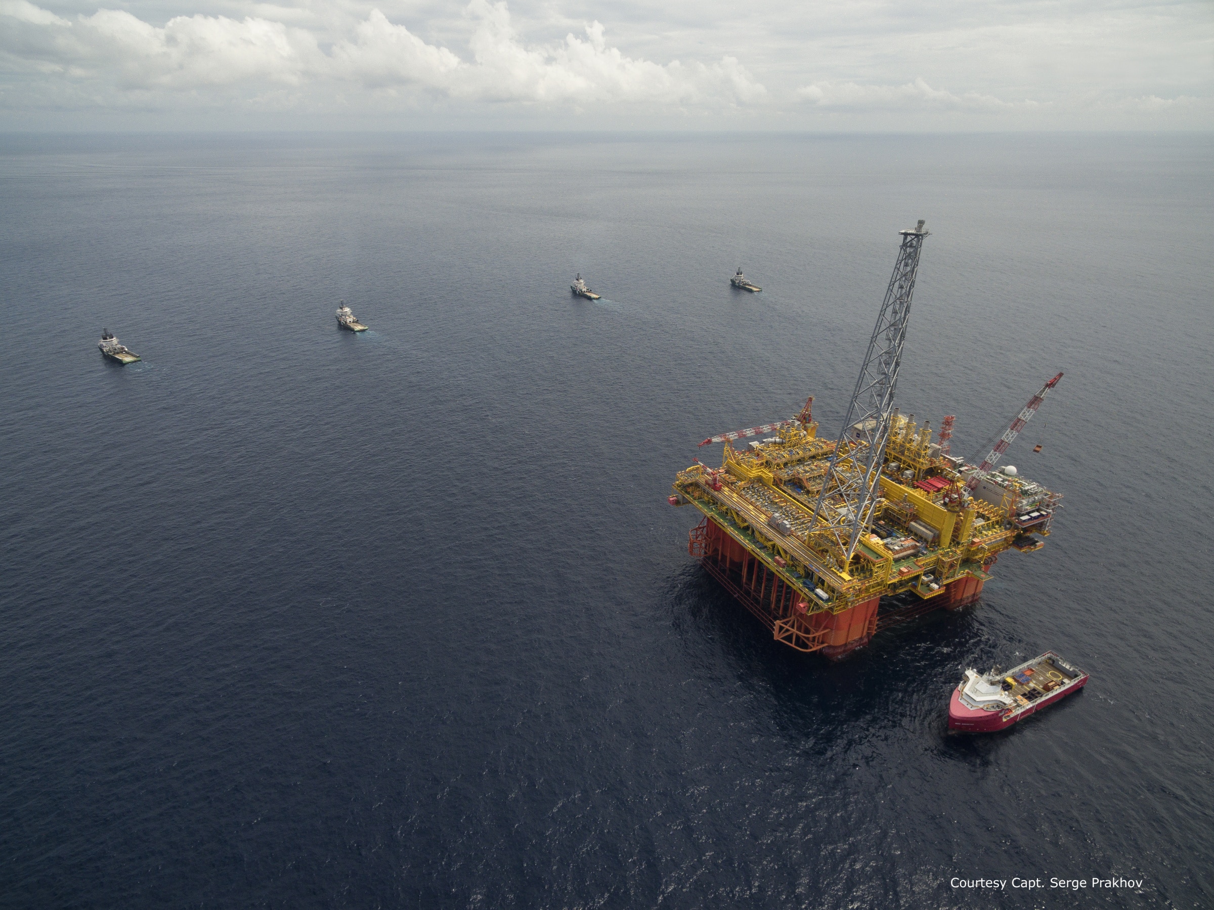
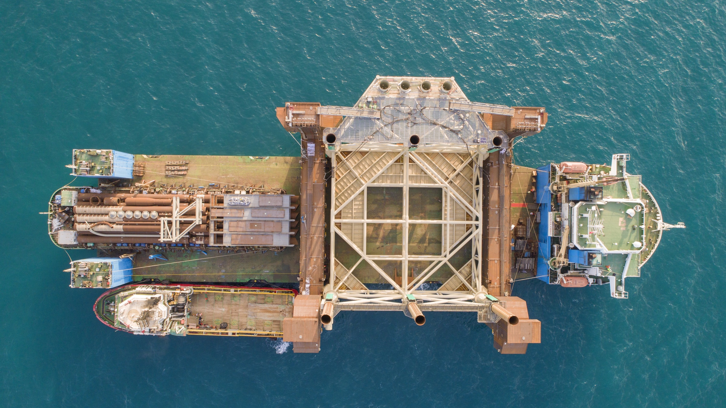
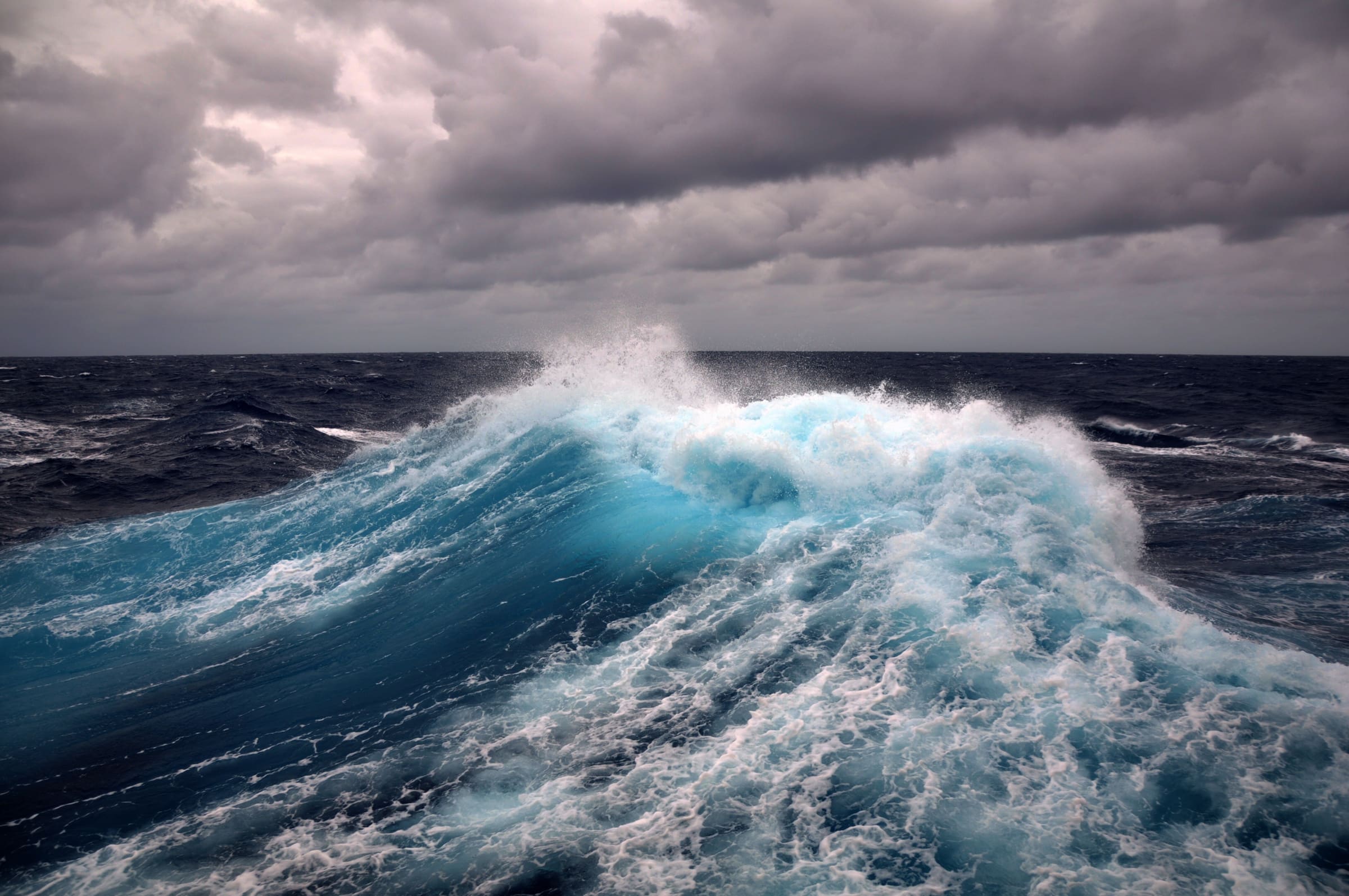
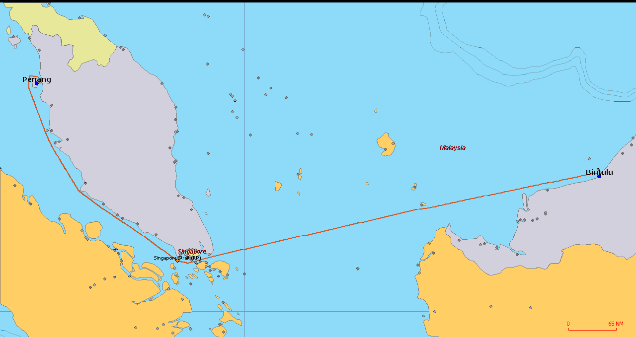
Our expert metocean route and site assessment services can be applied to a wide range of projects, with the findings working in parallel with the engineering and design to ensure informed design decisions to withstand the meteorological risks identified at different phases.

Metocean & Site Assessment Challenges

  • Climate change and extreme weather:
    increasingly unpredictable weather patterns require precise and real-time data analysis solutions to influence design decisions for long-term resilience and performance.
  • Cost risks:

    Advanced metocean data and site assessment can significantly reduce financial risk through the optimisation of design and operations.
  • Regulatory compliance:

    making forensic metocean analysis crucial to permitting and compliance.
  • Supply chain and logistics: 

    Poor weather windows and harsh meteorological conditions can increase the risk of delays to transportation and installation (T&I) and operations and maintenance (O&M) schedules, creating a knock-on effect on the wider supply chain and marine sites. Metocean data is critical for as accurate as possible, project planning.
  • Environmental sustainability:

    Appreciating the oceanographic conditions informs design decisions that minimise ecological impact, enabling more sustainable marine development

Our Metocean Engineering Services

  • Metocean desktop study
  • Site characterisation
  • Wave and hydrodynamic modelling
  • Offshore and coastal design metocean studies
  • Morphology and sediment transport assessment
  • Seabed evolution modelling
  • Metocean assessment for marine transportation and installation (T&I) systems and operations
  • Metocean uptime and downtime studies
  • Client assistance in operational planning
  • Metocean services for port and marine design
  • Tropical cyclone modelling
  • Tsunami wave modelling
  • Specific analyses on metocean data

Aquasafe: Software and dashboard solution for crystal clear, real-time presentation of metocean data

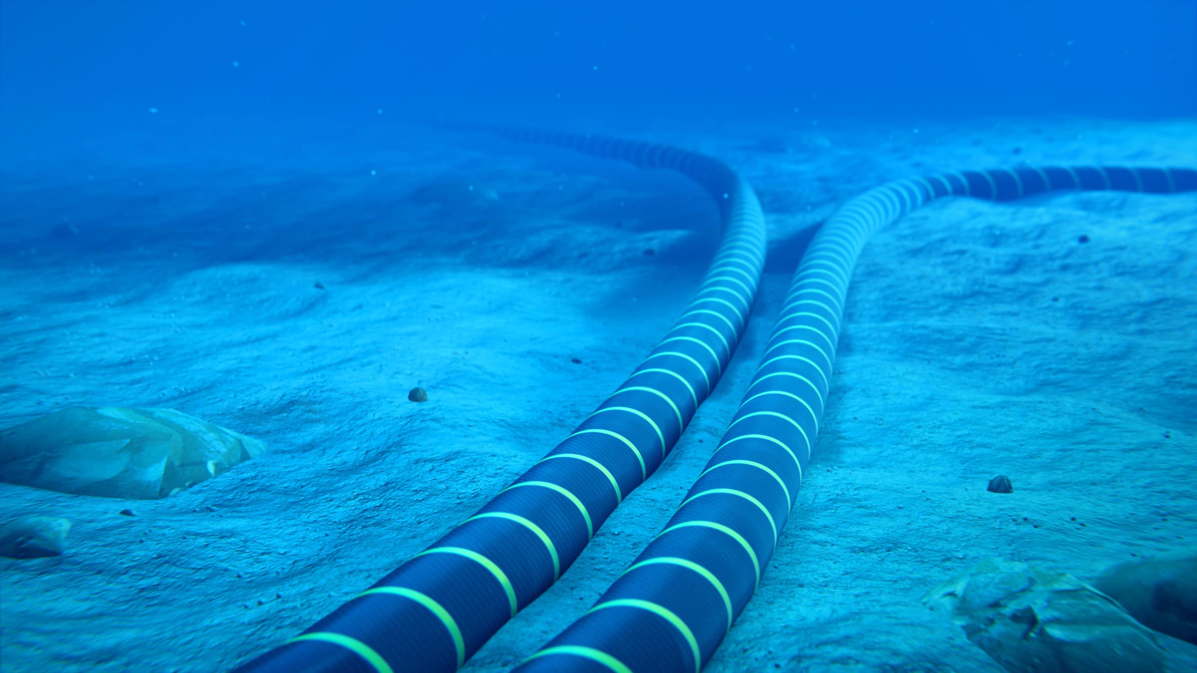
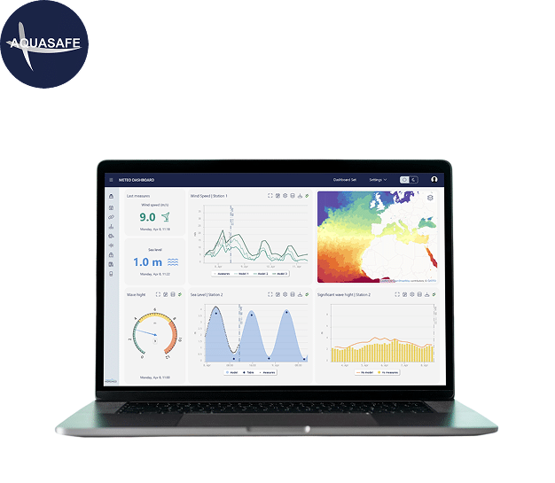
Aquasafe – developed by the water management consultants, Hidromod – delivers precise ocean, weather and operational forecasts to optimise decisions and reduce risks in offshore, inland and coastal operations. Hidromod is part of Longitude’s sister company, ABL.

It combines:

  • Flexible data analytics and reporting capabilities • High-resolution metocean forecasts validated by real-time observations
  • Continuous analysis of thousands of observational data points
  • Robust digital twins anchored in network numerical models

Our Value

In-house expertise in coastal and metocean engineering, working alongside Longitude’s multi-disciplined design and engineering teams

Combination of metocean expertise with extensive marine operational experience enables a holistic approach to design decisions

Cutting-edge technology and software for real-time metocean analysis

Long-term experience and track record in metocean route and site assessment, with proven results in risk mitigation

Your Projects

View All Case Studies

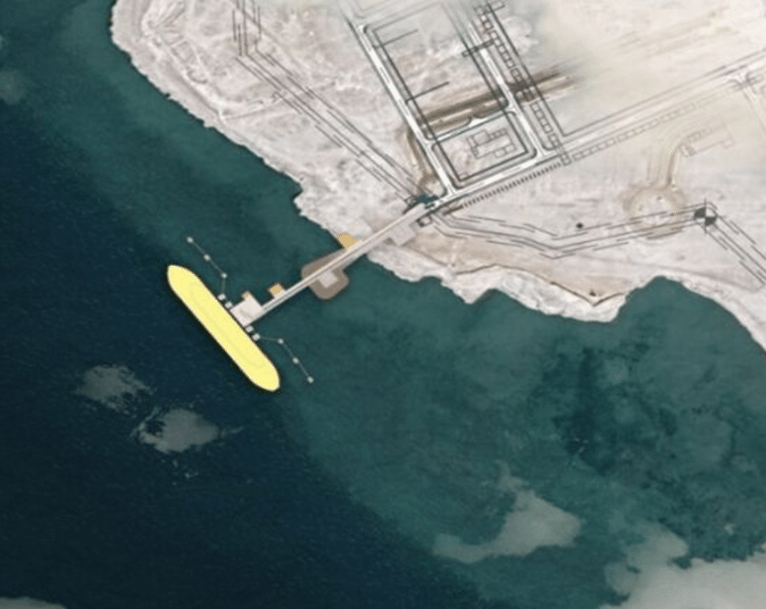
Explore examples of how Longitude’s Metocean Route and Site Assessment services have contributed to the successful delivery of your projects.

Get in touch

If you’d like to know more about how we can help you, simply fill out the form below. Our team will get back to you as soon as possible.

Related Services

Related Media